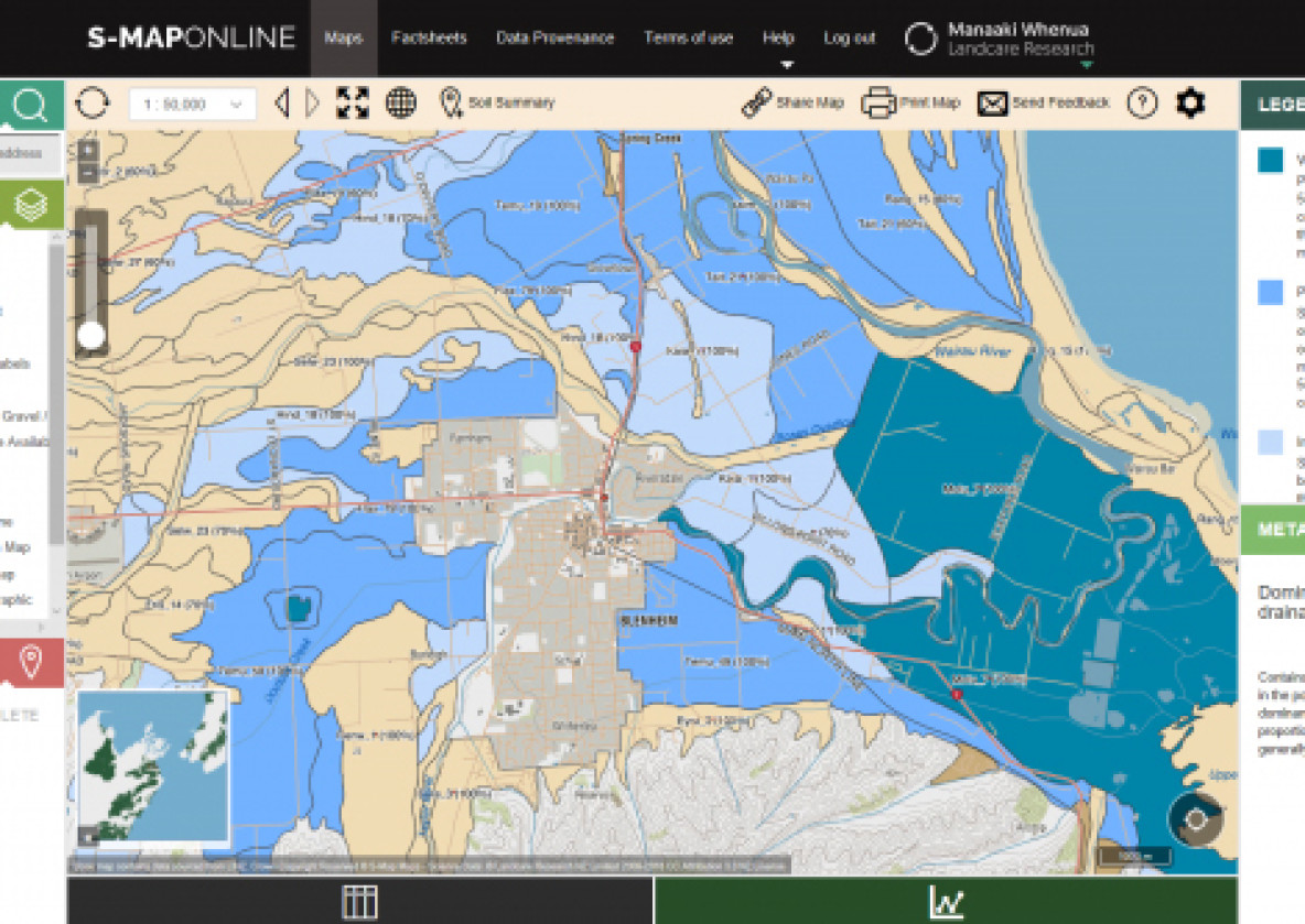
S-map Online
S-map and S-map Online
The digital soil map for New Zealand
S-map is Manaaki Whenua’s ongoing project to map New Zealand's soil resources at a nominal 1:50 000 scale.
S-map Online is the web delivery service for S-map and has been developed and operated by Manaaki Whenua's Informatics team.
Using S-map online you can:
- Explore interactive soil maps of Aotearoa New Zealand.
- Learn about the soil in your area
- Browse, view and download a variety of soil fact sheets including one for Māori
- Identify and compare soil siblings - the most detailed level of soil classification
- Create custom soil maps for printing
Key features
- Explore interactive soil maps of Aotearoa New Zealand.
- Learn about the soil in your area
- Browse, view and download a variety of soil fact sheets including one for Māori
- Identify and compare soil siblings - the most detailed level of soil classification
- Create custom soil maps for printing
Usage and licenses

S-map coverage and data
S-map definitions
S-map Online functionality
S-map Online
The digital soil map of New Zealand
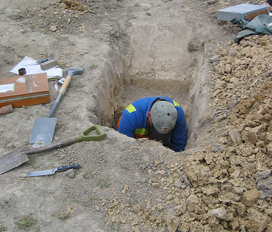
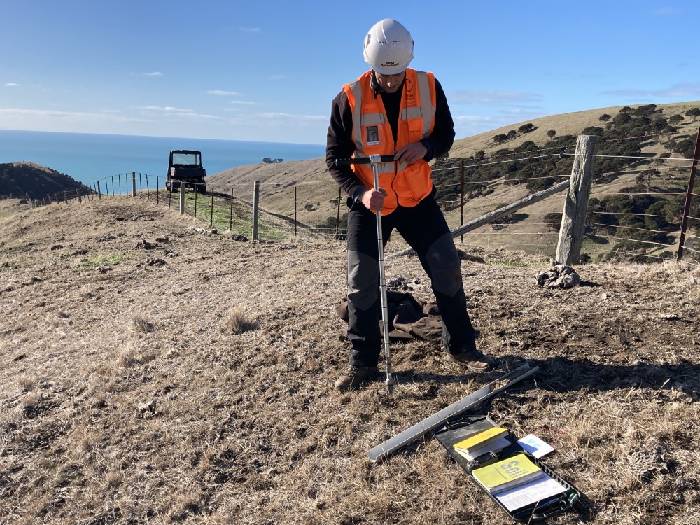
S-Map data includes fundamental soil property data - such as depth, stoniness, clay and sand content - created from field observations and expert knowledge, as well as derived soil data based on models (e.g., available water, macroporosity, P retention, pH, soil carbon).
The tool also allows you to create custom soil maps and download soil factsheets for specific locations.
The tool also allows you to create custom soil maps and download soil factsheets for specific locations.