Manaaki Whenua and and its predecessor organisations have a history of more than 80 years of soils research. A vast knowledge base has accumulated during that time.
These pages highlight the various types of soil data available, and how to access them.
Learn about the main types of soil data and how they differ from each other.
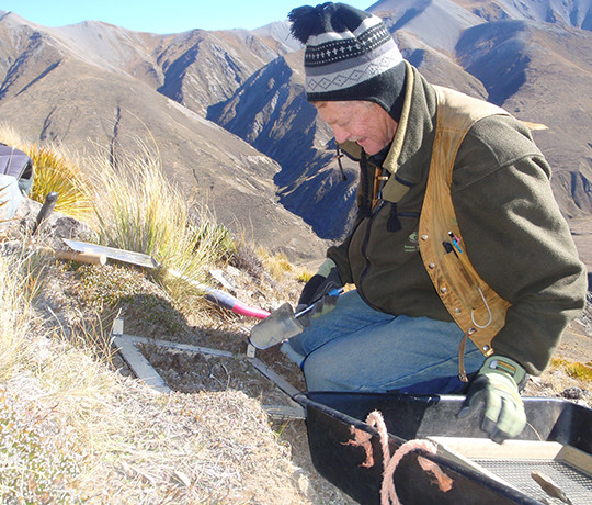
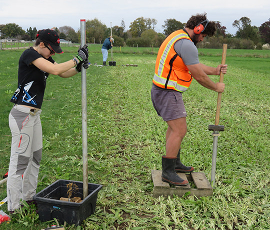
Basically, there are two main types of soil data: soil point information and soil maps. Soil point information is raw data that are collected from digging and describing a soil pit at a particular location. If soil samples are taken and analysed, those lab results are part of the soil point information, too. In soil surveys, pedologists use augers and spades to collect a minimum soils data set at many different locations within a short time.
The journey starts with the soil pit, the 'base unit' of all soils information.
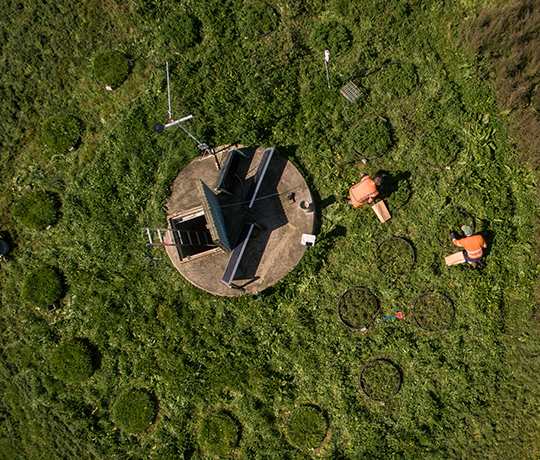
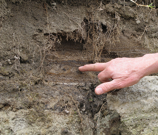
If a soil scientist has been out in the field to describe a soil, he digs a hole, notes its location, describes what he sees, makes measurements, gives the soil a name, and collects samples to take back to the laboratory for more detailed analysis. Most data gathered this way are stored in the National Soils Data Repository. The physical soil samples are archived in the National Soils Archive.
This page is designed to guide you through the soil data 'jungle' and highlight the main soil data sources in New Zealand that are freely accessible at the various spatial levels.
There are several reasons why finding the right peace of NZ soil information can be tricky:
- Data on NZ soils have been collected for more than 100 years, with standards for description, classification and analysis changing over time.
- There are different types of soil data, and they are being served through a large number of platforms. All of our soils-related platforms are listed in the ‘Tools’ section.
- A wide variety of actors – universities, crown research institutes (CRIs), regional councils, and consultants – generate soil data, without a unified catalogue or register being available a this time.
- A first data repository, the National Soils Database (NSD), was introduced by NZ Soil Bureau in the 1980’s, discontinued in 1992 due to funding restrictions, then re-initiated by Manaaki Whenua as the National Soil Data Repository (NSDR) in 2015. The processing and upload of soil ‘legacy’ data into NSDR is an ongoing and labour-intensive process.
- The bulk of soil information is collected from private land and is subject to the Privacy Act 2020, which limits the amount of soil data available to the public.
Learn about the many facets of soils collaboration that Manaaki Whenua – Landcare Research has had, and still has, with partners in the Pacific.
Manaaki Whenua – Landcare Research (MWLR) and its predecessor organisation, the NZ Soil Bureau, have a long history of supporting soil and land resources research in the Pacific, with the origins dating as far back as 1938 when Hamilton & Grange conducted an investigation of soils in Western Samoa.
The support has included funding and technical assistance to Pacific Island countries through soil surveys, soil laboratory analysis, soil characterisation, soil classification, soil fertility analysis, agronomic studies, soil interpretation for land use, information technology applications of soils data, and training for national and regional staff working in soils and agricultural research.
Manaaki Whenua has conducted research in Antarctica for many years, and manages and curates the Ross Sea Region soil database and related materials.
The historic and recent soil site and soil pit horizon data are accessible from two distinct datasets:
- Pre-2005 dataset: Thirty-five years of soil studies by Drs Iain Campbell and Graeme Claridge, and their colleagues.
- Post-2005: Investigations since 2005 by Dr Malcolm McLeod, Dr Megan Balks, Prof Jim Bockheim and colleagues in Wright Valley, Cape Hallett, and the Darwin Mountains.
In total, the two datasets provide descriptions for over 1000 soil pits at soil sites clustered around ice-free areas, reaching as far south and east as 87º S, 150º E and as far north and west as 72º S, 170º E. For each soil pit, site and soil horizons are described in detail. Site descriptions include observations of the surrounding geological, topographic and climatic contexts, and local surface features, site moisture, parent material and biology.
