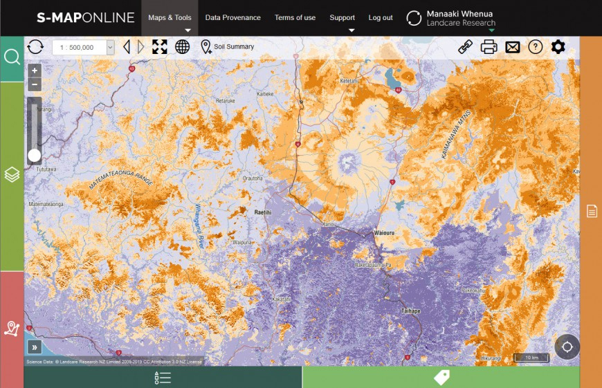
S-map is Manaaki Whenua’s ongoing project to map New Zealand's soil resources at a nominal 1:50 000 scale. It provides a seamless digital soil map coverage for New Zealand. S-map is designed to be applied at any scale, from farm to region to nation.
As of August 2024, S-map coverage stood at 41.2% of terrestrial New Zealand. Nearly three-fourths (73%) of New Zealand’s multiple use land (LUC 1-4: horticulture, cropping, and intensive pasture systems) has been covered by S-map, but less than a quarter for the other land use classes (LUC 5-8: extensive pasture/forestry and conservation) have been covered. Coverage varies greatly between regions, reflecting the availability of legacy surveys at an appropriate scale and the degree of investment by different regional councils in soil mapping. Waikato, Bay of Plenty and Canterbury are the regions with highest S-map coverage. When completed, S-map will provide harmonized soil mapping for New Zealand to support a vast array of applications at local, regional, and national scales.
The S-map project has integrated existing surveys and undertaken a number of new surveys to increase coverage and harmonize mapped soil attributes and properties. The system uses an inferencing engine to infer soil property information where this would otherwise be unavailable. This system is a key component in supporting sustainable development and scientific modelling within New Zealand.

The latest update to S-map is a significant nationwide update and a major focus is to update to the soil hydrology information.
The main changes to S-map, which users will see online, are: