Maps of Fundamental Soil Layers
Soil Attribute Maps
Soil chemical attributes

Soil physical characteristics
Soil drainage parameters
Soil environment parameters
Soil moisture properties
References
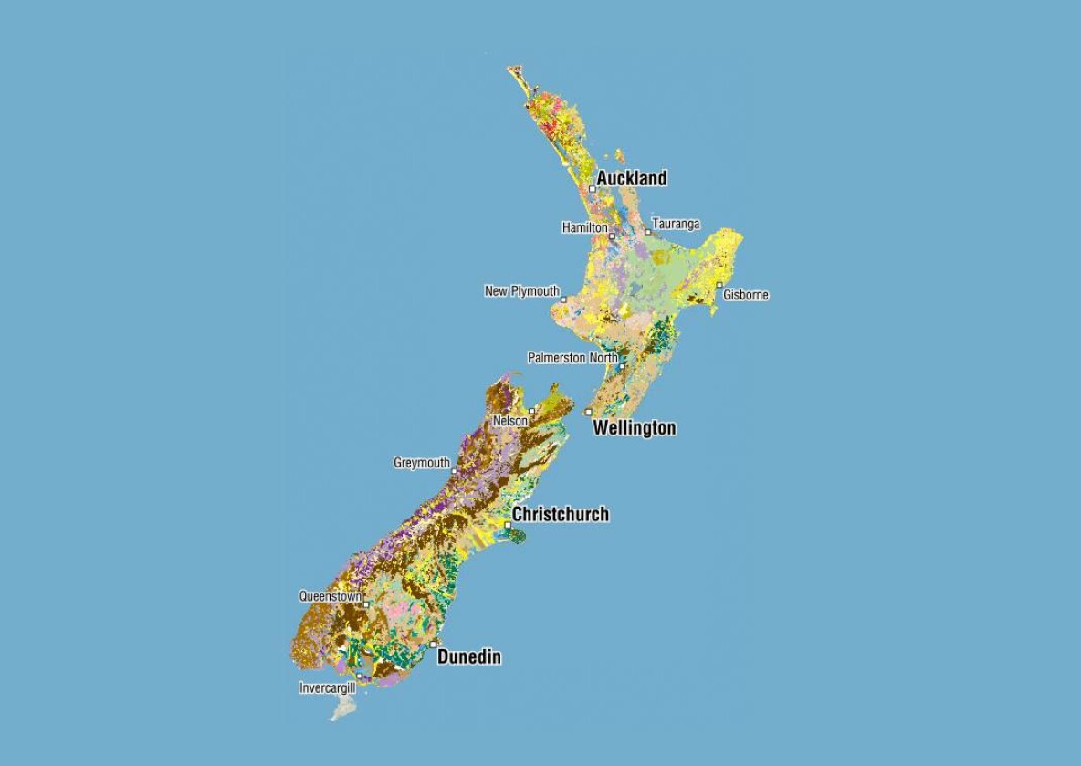
The New Zealand soil map based on NZLRI polygons
FSL New Zealand Soil Classification
Regional soil databases were the key to generating FDLs. New Zealand was subdivided into several geographic regions and soil scientists were allocated a region for which they developed a ‘regional legend’, i.e. database. Regional data were correlated using the New Zealand Soil Classification (NZSC), referenced to the National Soils Database (NSD) and other relevant data sources, and then linked to the soil polygons in the New Zealand Land Resource Inventory (NZLRI). This layer holds the NZSC data upon which the remaining FSLs were based.