LRIS Portal
LRIS Portal
Soil Data At Your Fingertips
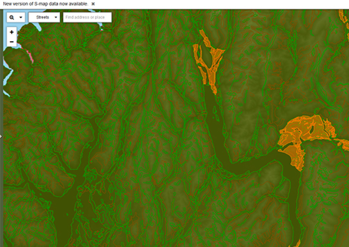
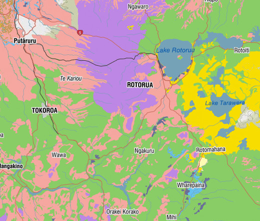
The Portal contains a variety of soil data and information including maps (tiff images), digital soil maps and soil bureau bulletins and reports. It provides free, online access to a growing range of Manaaki Whenua Resources.
List of soils data and information in the LRIS Portal
LRIS Portal
Soil Data At Your Fingertips
The Portal contains a variety of soil data and information including maps (tiff images), digital soil maps and soil bureau bulletins and reports. It provides free, online access to a growing range of Manaaki Whenua Resources. No special software is required. Just follow the instructions using your usual internet browser and the data can be on your desktop, ready for use, in just minutes.