New Zealand Land Resource Inventory (NZLRI) – Soil
NZLRI Soil
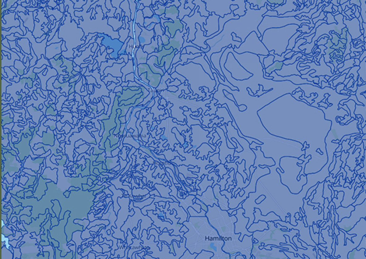
The digital soil map for New Zealand
The NZLRI is a powerful tool as it provides consistent coverage across the entire country at a nominal scale of 1:50 000.
Inventory, land-use capability and extended legend information can be used in planning at national, regional, district, and catchment levels.
Learn more about the development of NLRI
Inventory, land-use capability and extended legend information can be used in planning at national, regional, district, and catchment levels.
NZLRI – Soil
Soil and land resources mapped at the national scale.
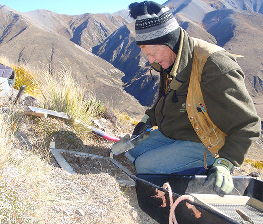
The New Zealand Land Resource Inventory (NZLRI) is a national database of physical land resource information. It comprises two sets of data (an inventory of five physical factors and a Land Use Capability rating) compiled using stereo aerial photography, published and unpublished reference material, and extensive field work.