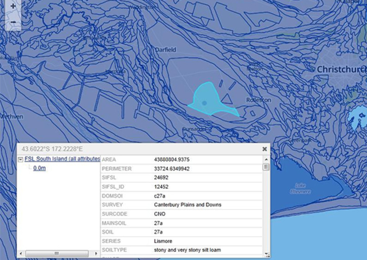
SoilsMapViewer (FSL)

What are Fundamental Soil Layers?

Fundamental Soil Layers (FSL) – also known as Fundamental Soil Data Layers (FDLs) – is a soil attributes dataset that predates and is being replaced by S-map, which is considered better quality and more reliable data. However, there is not yet national coverage for S-map, so it might sometimes be necessary to use the FSL as a fallback option.

The SoilMapsViewer is a tool that you can use to explore the FSL data layers.

Fundamental Soil Layers

Spatial information for 16 key attributes

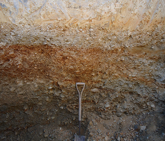
Key soil attributes were selected through a consultation process with stakeholders, and generally fall into three groups: soil fertility/toxicity, soil physical properties (particularly those related to soil moisture), and topography/climate (T). Parameters include slope, potential rooting depth, topsoil gravel content, proportion of rock outcrop, pH, salinity, cation exchange capacity, total carbon, phosphorus retention, flood interval, soil temperature, total profile available water, profile readily available water, drainage, and macropores.
Learn more

Maps of FSLs

Maps show a range of soil attributes derived from the dominant soils depicted in the 1:50 000 scale NZ Fundamental Soil Layers.

Most of the maps show the most likely (i.e. modal) value from the classed soil attribute data. Even within small areas of the same soil, soil attributes can be very variable. You can click on a soil area to see our estimate of the range of values that might be expected for each soil. Since it is quite impractical to measure soil attributes for all soils, we also provide a guide to the technique we used to derive our estimate. These range from 'measured', indicating the the mapped soil has been measured, to 'general inference', indicating the soil measured was generally similar to the mapped soil, but we have no actual measurements to support the inference.

Find out more about FSL attribute maps

Fundamental Soil Layers

The soil fundamental data layers (FDLs) contain spatial information for 16 key attributes. These soil attributes were selected through a consultation process with stakeholders, and fall broadly into three groups: soil fertility/toxicity, soil physical properties (particularly those related to soil moisture), and topography/climate.
Coverage: The whole of mainland New Zealand Date: Varies from 1960s to 2000 License:Soil data are available Landcare Data Use Licence