Land use capability back in the spotlight
In September 2022 the National Policy Statement for Highly Productive Land (NPS-HPL) was released. This targets the safeguarding of New Zealand’s most favourable soils for food and fibre production. A new web service in support of this effort has now been released.
The definition and initial mapping of highly productive land are closely coupled to classes 1, 2 and 3 of the New Zealand Land Use Capability Classification System (LUCCS). Starting in the 1960s the New Zealand Land Resource Inventory (NZLRI) was mapped at a scale of 1:63,360 and was completed for the entire country. Every NZLRI unit was assigned an LUC code assessing the parcel’s capacity for sustained productive use, physical limitations, and management requirements for soil conservation. When completed in the 1980s it was the most detailed digital national resource survey internationally.
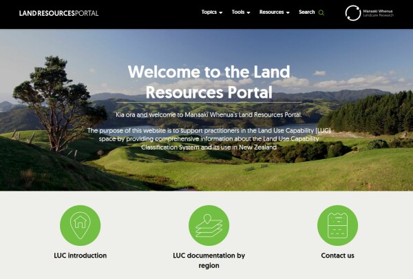
Landing page of the Land Resources Portal.
Despite its age and the lack of investment in updating it, the NZLRI is still operational as a Nationally Significant Database and remains the basis for much of the rural planning in New Zealand. However, as a result of organisational changes over time and the fact that most supporting materials were archived in hard-copy form, it can be challenging to trace all the reports and ancillary information available for a particular area.
Manaaki Whenua – Landcare Research and its predecessor organisations have played a substantial part in New Zealand’s land resource mapping. As custodians of the NZLRI we have responded to the increase in attention resulting from the NPS-HPL's reliance on NZLRI data by creating a new web service for the community of LUC practitioners. Following a stock-take of LUC-related materials and the digitisation of relevant items, the ‘Land Resources Portal’ is being established for convenient information access and download.
The new service provides more than LUC bulletins and extended legends. A ‘Topics’ section covers a growing number of explanatory texts on aspects of LUC surveys, governance, and history. Plus, a ‘Tools’ section provides guidance on where NZLRI data are already available for online browsing and downloading, as well as other relevant land and soils data services that Manaaki Whenua – Landcare Research has on offer.