National soil data
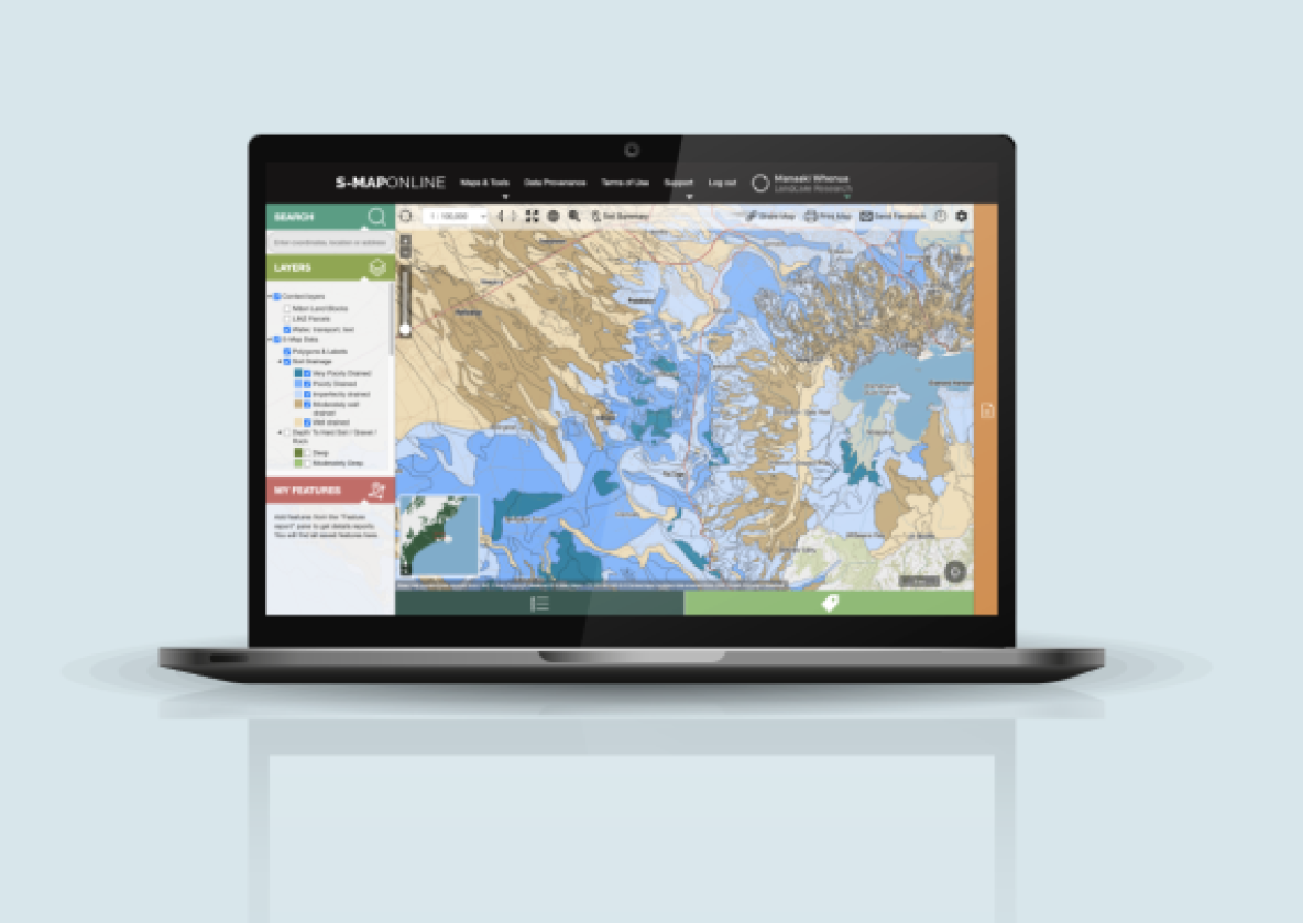
S-map Online
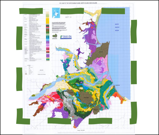
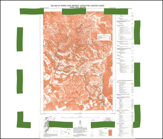
The digital soil map of New Zealand
S-Map data includes fundamental soil property data - such as depth, stoniness, clay and sand content - created from field observations and expert knowledge, as well as derived soil data based on models (e.g., available water, macroporosity, P retention, pH, soil carbon).
The tool also allows you to create custom soil maps and download soil factsheets for specific locations.
The tool also allows you to create custom soil maps and download soil factsheets for specific locations.
Which soil data to use for areas where S-map is unavailable?

Where to find soil 'point' information?
National Soil Monitoring data