Regional soil data
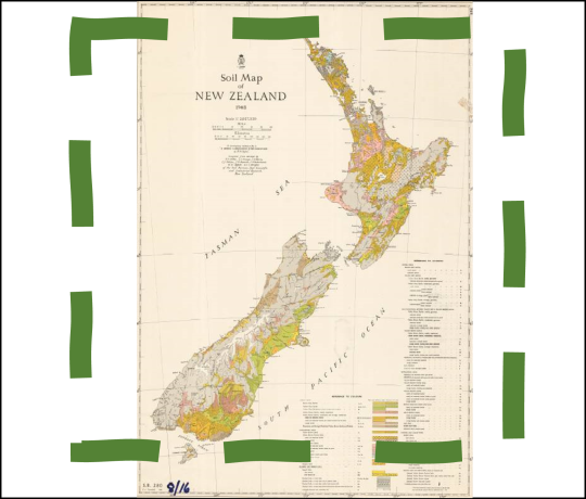
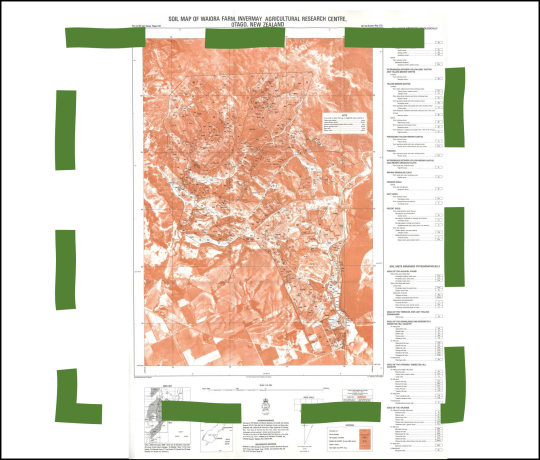
With S-map Online, Manaaki Whenua provides a soil data tool perfectly suitable at the regional scale.
Most regional councils provide soil information and data online:
- Soil map viewer and factsheets
https://nrcgis.maps.arcgis.com/apps/webappviewer/index.html?id=fd6bac88893049e1beae97c3467408a9 - Soil types maps, Northland Regional Council
https://www.nrc.govt.nz/Resource-Library-Summary/Publications/Land/Soil-types-maps/ - Soil factsheets
https://www.nrc.govt.nz/soilfactsheets
- Soil Information Inventory publications
https://knowledgeauckland.org.nz/search/?query=SII
- Waikato Regional Council pages on land and soil information
https://waikatoregion.govt.nz/environment/land-and-soil - Soils-related datasets in the Waikato Data Portal
https://data-waikatolass.opendata.arcgis.com/search?q=soil - Map of soil risk for farm dairy effluent (FDE)
https://waikatomaps.waikatoregion.govt.nz/Viewer/?map=1aa9c952a38949a68cbe3ca7aed48270
- Soil map of the BOP region, Bay of Plenty Regional Council
https://gis.boprc.govt.nz/BayMaps/?appid=0a7d3a0445924cfabb09d788c481dec8 - Book: Soils of the Bay of Plenty
https://www.boprc.govt.nz/media/32401/EnvReport-201011-SoilsBayofPlentyV1WesternBay.pdf
- Land & soil information pages, Gisborne District Council (GDC)
https://www.gdc.govt.nz/environment/land - GDC Soil temperature and moisture data
https://www.gdc.govt.nz/environment/maps-and-data/soil-temperature-and-moisture
- Soil moisture monitoring, Hawke’s Bay Regional Council
https://www.hbrc.govt.nz/environment/climate/soil-moisture/ - Managing soil erosion on farms
https://www.hbrc.govt.nz/environment/farmers-hub/managing-erosion/
- Soil and land cover map viewer
https://maps.trc.govt.nz/LocalMapsViewer/?map=0824911d3f58406dbab44cfb8dde6ae6 - Real-time soil moisture and temperatur data
https://www.trc.govt.nz/environment/maps-and-data/regional-overview/?measureID=5&siteID=8
- Soil moisture and temperature monitoring data, Horizons Regional Council
https://envirodata.horizons.govt.nz/
- Soil-related layers in Greater Wellington Regional Council Open Data Portal
https://data-gwrc.opendata.arcgis.com/search?q=soil - Soil moisture data
http://graphs.gw.govt.nz/#dailyClimateMaps
- Soil information page of Tasman District Council (TDC)
https://tasman.govt.nz/my-region/environment/environmental-management/land/soil-and-land/valuing-our-soils/
- Information on soil erosion, mapping and quality, Nelson City Council
http://www.nelson.govt.nz/environment/sustainable-land-management/our-soils/
- Info on soils, soils reports, and soil maps
https://www.marlborough.govt.nz/environment/land/soils - Soils data viewer
https://maps.marlborough.govt.nz/smaps/?map=eeeff21e2a664dbeba7e07d5b177d593
- Soils and Agriculture of the West Coast, Te Ara
https://teara.govt.nz/en/west-coast-region/page-10 - West Coast Land Use Capability, West Coast Regional Council maps
https://gis.westcoast.govt.nz/WestMapsViewer/?map=097b3c420b974eaa8fb074b59c73dbd5
- Soil map viewer, Environment Canterbury (ECan)
https://mapviewer.canterburymaps.govt.nz/?webmap=5ada91fd013742c0924d4935ac475a70 - Other soil maps (search for keyward ‘soil’):
https://canterburymaps.govt.nz/explore/ - Soils-related datasets in the ECan open data portal
https://opendata.canterburymaps.govt.nz/search?q=soil
- growOTAGO soil map viewer, Otago Regional Council (ORC)
https://maps.orc.govt.nz/OtagoViewer232/?map=cebbc029a49041f88896fa109b906bf0
- Topoclimate South - Soil Information Sheets
https://greatsouth.nz/resources/topoclimate-soil-information-sheets - Topoclimate South – Soil map
https://data-esgis.opendata.arcgis.com/datasets/topoclimate-south-soils/explore

